Hector:
I am on the Joint Committee of Fisheries Engineering and Science (Joint Committee). Below is a response from one of our Joint Committee Members on your question on the Fishway. Feel free to reach out to Sebastian and explore the Joint Committee resources.
Here are more resources from the Joint Committee you can look at for fishway design (partially sent by Marcin W too).
Joint Committee on Fisheries Engineering and Science
|
Fisheries
|
remove preview
|
|
|
|
Joint Committee on Fisheries Engineering and Science
|
|
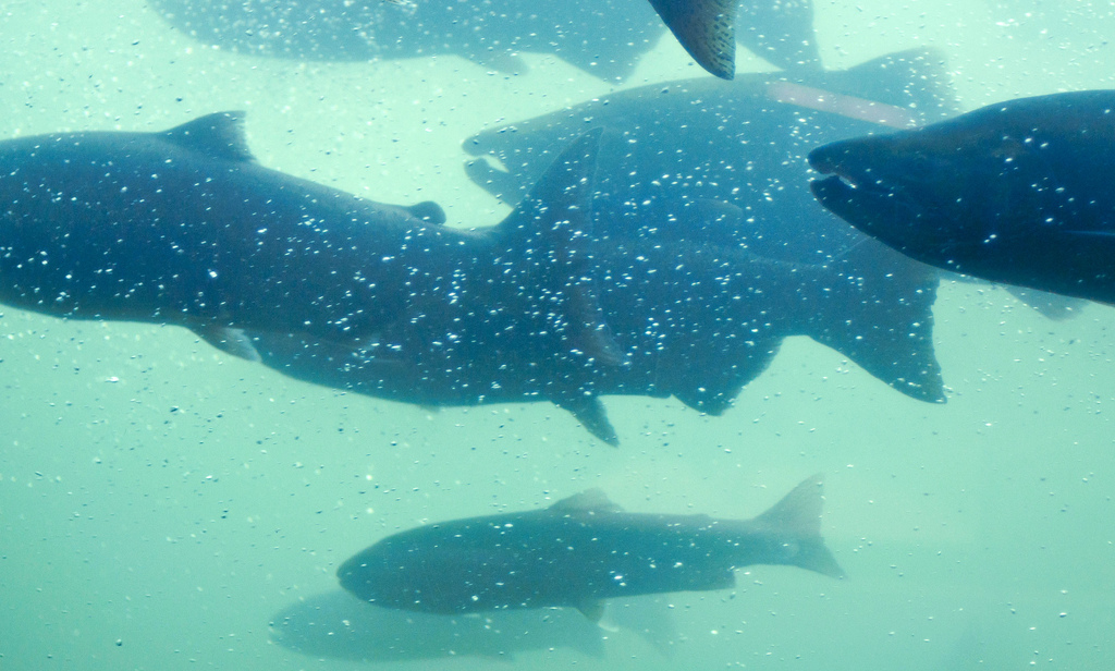
JOINT COMMITTEE ON FISHERIES ENGINEERING AND SCIENCE 2025 Webinar Series Restoring Fish Passage on the St. Croix River: Engineering and Ecological Perspectives Forming the border of Maine and New Brunswick, the St. Croix River (Skutik) watershed, rich in forest streams and lakes, has the potential to support the largest run of migratory river herring on...
|
|
View this on Fisheries >
|
|
|
Joint Committee on Fisheries Engineering and Science
|
Fisheries
|
remove preview
|
|
|
|
Joint Committee on Fisheries Engineering and Science
|
|
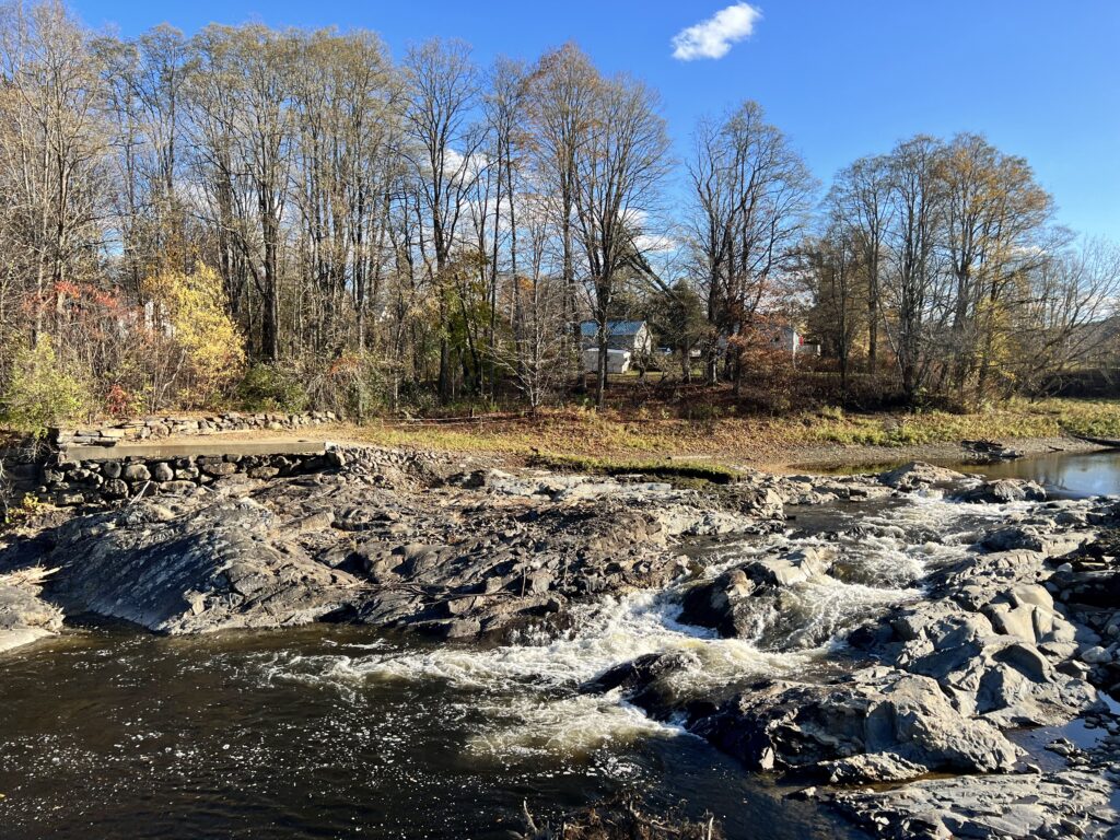
A series of for implementing fish passage and habitat projects as a service to our community of practice, particularly newer practitioners and on the ground project managers. These checklists are provided with the intent of fostering more successful projects with fewer missteps and less backtracking.
|
|
View this on Fisheries >
|
|
|
Feel free to reach out if you have any other questions.
Regards,
DENIS RUTTENBERG, P.E.
Member, Past Chair Joint Committee
and
ASSOCIATE ENGINEER
Design and Construction, Unit #332
druttenberg@...
Tel. (408) 630-2682 Mobile (408) 630-1172
SANTA CLARA VALLEY WATER DISTRICT
5750 Almaden Expressway, San Jose CA 95118
www.valleywater.org
Clean Water . Healthy Environment . Flood Protection
----------------- Response from Sebastian and Joint Committee -------------------------------
From: Sebastian Schwindt <sebastian.schwindt@...>
Sent: Monday, November 3, 2025 4:03 AM
To: Denis Ruttenberg <DRuttenberg@...>;
Subject: Re: FW: ASCE Collaborate: Meander Type C Fishway Design Parameters Questions
*** This email originated from outside of Valley Water. Do not click links or open attachments unless you recognize the sender and know the content is safe. ***
Hello,
These designs sound a little similar to where we did multiple surveys at
the Inn River in Germany (close to Ering), which was implemented by the
Austrian hydropower operator VERBUND AG. There are a bunch of
publications on these meander designs, but all in German; I attached
them anyway.
Here goes a summary of what's in it: The original concept of the meander
fishway at Ering am Inn was a steep drop structure along the lateral Inn
dam, so that the slope would be sufficient to convey sufficient
discharge for bedload transport. This approach is now being implemented
at another hydropower plant (Egglfing, also by Austrian VERBUND) where a
meander fishway is not feasible because of a small natural tributary
that runs in parallel. In Ering, VERBUND proposed using excavation
material from a dredged island in the main channel to construct the
meander fishway, to "dynamize" sediment transport by acting on the
gradient rather than on discharge. But this was prevented by aquatic and
terrestrial ecologists who argued that the system would "naturally"
self-adjust without mechanically dredged sediment from the island. So
mechanical intervention was rejected in favor of "natural development",
including riparian forest and bank evolution. Now, in practice, dredging
is required every year during fine-sediment flushing operations aimed at
removing fines (clogs the surface layer). What is happening now is that,
each year, material from a downstream sediment trap is hauled upstream,
with volumes adjusted as needed.
In addition, dense riparian vegetation largely inhibits lateral channel
dynamics, and the upper reach of the Ering meander fishway is strongly
armored. Bedload placed upstream tends to just travel over the armored
surface (without exchange), with dynamic gravel bars forming primarily
in the lower reach. So this underutilizes the potential of the meander
fishway.
A supposedly more effective approach is to designate recurring reworking
zones along the entire channel at discrete gravel-bar sites, including
periodic removal of woody vegetation, to maintain gravel-bar and
shallow-water functions. The objective of that is to preserve functional
spawning habitat and suitable shallow-water areas for juvenile fish,
acknowledging that, as in natural rivers, these features will not always
form exactly where planned. A related EU Interreg project at the
Technical University of Munich (Prof. Jürgen Geist) entitled "Innsieme -
Spawning Habitat Management" covers tributaries, the Inn, and bypass
channels, including dynamic and static bypass systems.
So key design criteria included channel slope and morphology to
reproduce conditions comparable to the alluvial plain of the
hypothetically natural Inn, based on the attached publications and
available historical imagery (kudos also to the US Air Force in the
mid-20th century). In addition to gravel bars, slackwaters and small
backwaters were integrated, which now require periodic excavation to
provide juvenile habitat as larvae are transported here after hatching.
Bed material was not specifically designed; it was local Inn gravel to
indirectly account for original slope relations.
Another criterion was the spatial footprint and constraint. Channel
width was constrained to VERBUND-owned land, and needed to also
accommodate a service road and a dyke. At the end of the Ering fishway,
once natural ground was reached, more space was available on VERBUND
land, but impacts on the alluvial forest were minimized there. For
instance, trees with potential bat habitat were considered. Banks were
intentionally not armored here to allow lateral erosion. Today, the
fishway reworked the deposits effectively, but bank armoring was
installed because of safety requirements.
More details are available on the "BDEW" interactive map under (we
worked at "Ering"), which presents three gradient-based concepts: (1)
ramp with bypass channel, (2) floodplain reconnection with dynamic flow
allocation, and (3) the island concept with gravel and shallow-water
features (see also population model by Wolter, which found an increase
in fish population). But the Wolter study also found that access from
the fishway to the main Inn was not available for juvenile fish.
I hope that helps!
Best,
Sebastian
---
Dr. sc. (PhD) Sebastian Schwindt (he/him)
Institute for Modeling Hydraulic and Environmental Systems
University of Stuttgart
Pfaffenwaldring 61
D-70569 Stuttgart
Tel.: +49 711 685-64789
Secr: +49 711 685-64752
sebastian.schwindt@...
www.iws.uni-stuttgart.de
------------------------------
Denis Ruttenberg P.E., M.ASCE
Santa Cruz CA
------------------------------