The webinar presenters will apply their November, 2019 JSE article “Four Methods for Low Distortion Projections” to the design of SPCS zones for New Mexico. These Methods depend on using an explicit elevated reference surface called a constant-h surface (ChS) to define, clarify, and analyze their LDPs’ properties, like conformality and scale. These methods allow LDP designers to specify the design height to be whatever height the grid is to reside at, such as the mean height of the zone, and choose the central scale factor independently to control scale distortion, in the familiar way. The article recommended Method #2, and these topics will be the focus of the webinar: (1) what choices must be made, (2) how to choose the height for which the SPCS coordinates are optimized, (3) how to apply Method 2, (4) how the new Method is an extension of the procedures that produced SPCS83 (J. Stem), and (5) how the new method differs from the LDP methodology promoted by NGS and discussion of the pro’s and con’s of each. Context and brief explanation of the three other Methods (1, 2, and 4) will be given.
Speakers
Tom Meyer was awarded a Ph.D. from Texas A&M University in College Station, Texas in 1998, where he was a research associate in the Mapping Sciences Laboratory. He now is a Professor of Geodesy in the Department of Natural Resources and the Environment at the University of Connecticut, where he teaches courses in geomatics, GNSS and plane surveying, geodesy, and geospatial analysis in Python. Dr. Meyer is a member of ASCE and the Connecticut Association of Land Surveyors. He is also a past president of the New England Section of the ACSM and a Fellow and the 2016/2019 president of the American Association for Geodetic Surveying. Dr. Meyer has published an undergraduate textbook on geodesy, numerous peer-reviewed journal articles, and is on the editorial boards of the Journal of Surveying Engineering (JSE) and Surveying and Land Information Science (SaLIS). He is a regular presenter at national meetings, giving workshops and seminars on numerous topics in geodesy, GNSS, and surveying. His most recent research projects include new formulations of low-distortion projections, and developing spatial statistical animal-movement models for mountain lions, bob cats, and salmon.
http://www.nre.uconn.edu/pages/people/bios/meyer.php
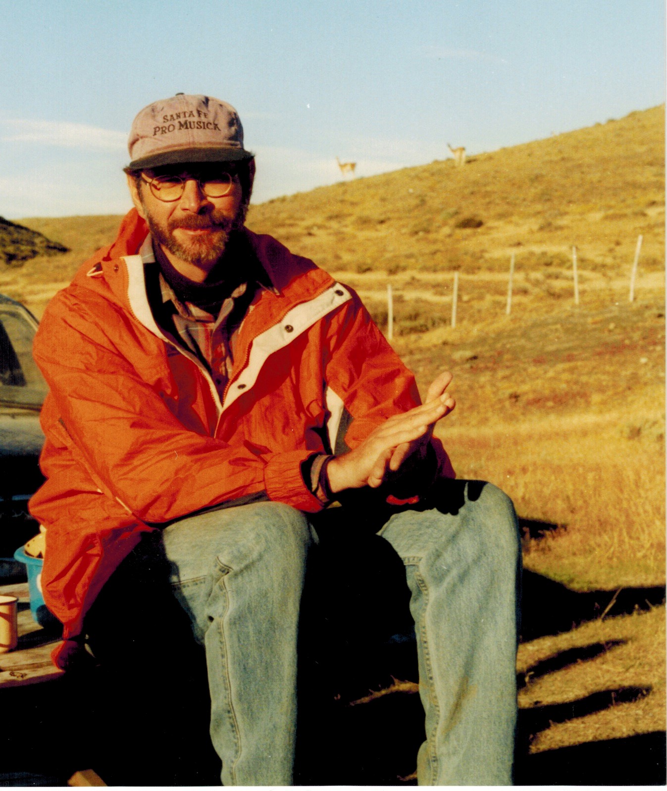
Here Tom is in Torres del Paines National Park in Chile, South America. Guancos, related to llamas, are visible on the horizon.

Mr. Rollins is a geodesist at the National Geospatial-Intelligence Agency. Since 2002 he has been part of NGA’s Office of Geomatics in St. Louis, MO where he advises cartographers and GIS analysts on map projections and geospatial coordinates, and directs software support for the same. He studied geodesy at The Ohio State University (2002) after beginning his government service in nautical cartography (1995). His education was B.S. in Mathematics from S.U.N.Y Stony Brook (1973), and M.A. in Mathematics from U. of Maryland (1976).
More Information on the series!
#COVID19